The falls
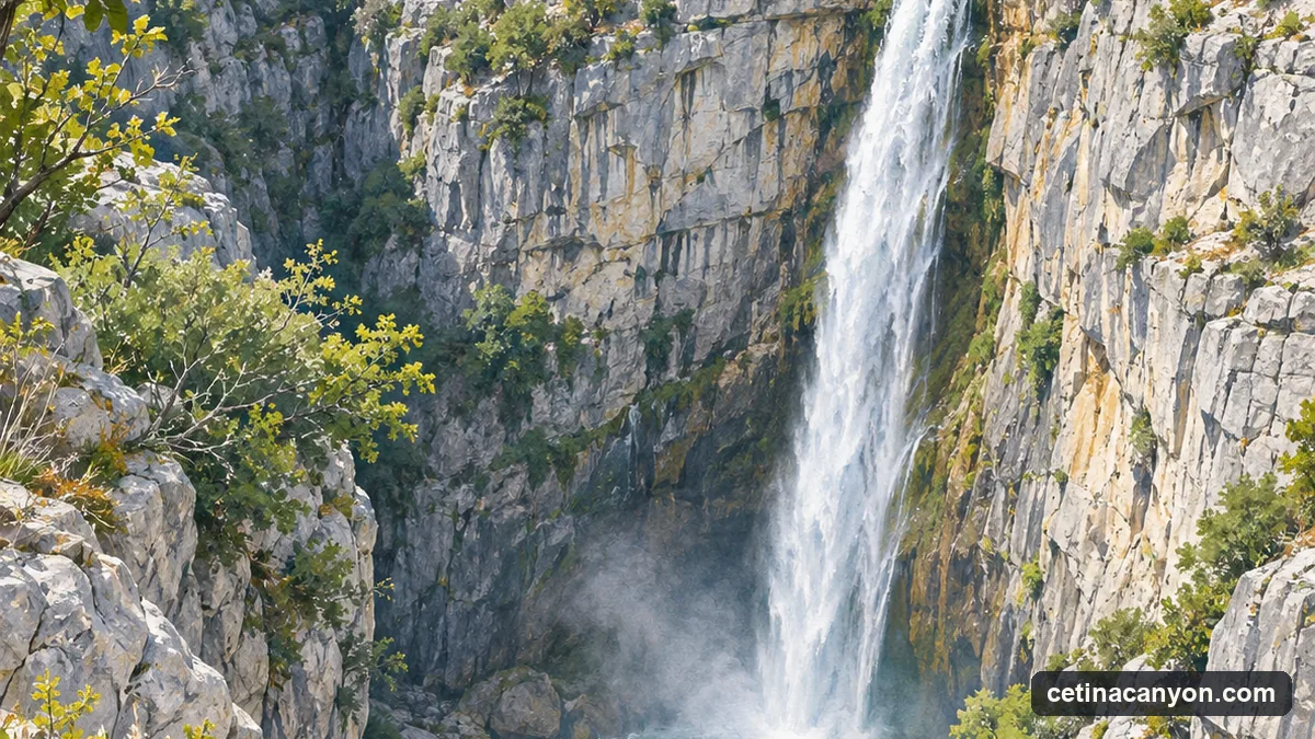
The Cetina reaches Zadvarje at the end of its upper canyon, cut into the limestone plateaus. Here it drops into the lower canyon. The management plan for the protected landscape gives the figures: over a stretch of 1.5 km the riverbed falls 166 m, and two steps of that fall are waterfalls. Velika Gubavica (the Great Gubavica) is 49 m high (the plan’s account of the river’s gradient gives the step as 48 m); Mala Gubavica (the Little Gubavica) is 7 m. The plan describes the river here as having cut a deep, narrow, impassable valley.
The viewpoint walk
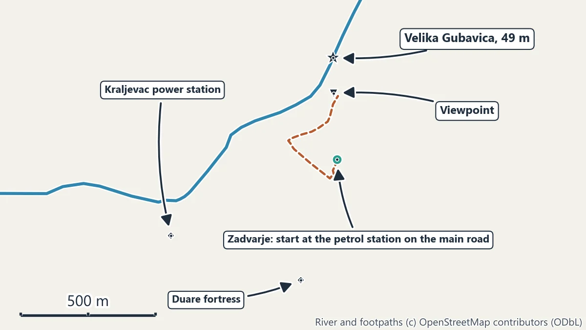
- Zadvarje. The village is on the main road down from the Šestanovac motorway junction. Park in the village; the petrol station on the main road is the easy landmark.
- The path. From the petrol station a path leads off the main road towards the gorge, past a picnic area. It is about 600 m on foot to the viewpoint over Velika Gubavica.
- The view. From the rim you look down into the gorge and across at the falls. Stay well back from the cliff edge and keep children close: the drop is tens of metres.
Allow half an hour there and back, more if you want to sit with the view.
Why the flow changes: the Kraljevac power station
Just below the falls, on the left bank by Zadvarje, stands the Kraljevac hydroelectric plant. Built in 1912, it is the oldest power station on the Cetina, and the management plan describes it as using the natural drop of Velika and Mala Gubavica. Its buildings are recorded as industrial heritage. Water for the plant is taken from the river above the falls, and the whole river here is also shaped by the reservoirs and plants upstream.
The result is that the falls are not the same on every visit. How much water goes over them depends on what the river is carrying and on what the plant takes, and the falls can be a full white curtain or a thinner veil.
Into the gorge: canyoning
The gorge below Zadvarje is the Cetina’s canyoning route, from an entry at Zadvarje to an exit near the Kraljevac plant. The extreme trips abseil down the cliffs beside Velika Gubavica on a rope descent of roughly 50 to 60 m. See canyoning on the Cetina. Do not try to reach the foot of the falls on your own.
Around Zadvarje
- The Duare fortress. The ruins of a medieval fortress stand on the southern edge of the village.
- Rafting starts below. The rafting put-ins at Penšići are 7.8 km by road from Zadvarje: see Cetina river rafting.
- Another waterfall, near Omiš. Ilinac, above the village of Zakučac at the other end of the canyon, falls 130 m but only after heavy rain; the management plan calls it the highest seasonal waterfall in Croatia. See walks and viewpoints.
Getting to Zadvarje
60.2 km by road from Split bus station on the motorway, or 30.0 km from the bridge in Omiš on the inland road. Most visitors come by car or taxi, or with a canyoning company. The Split to the Cetina Canyon guide has the routes.