Fortica: the fortress above the river mouth
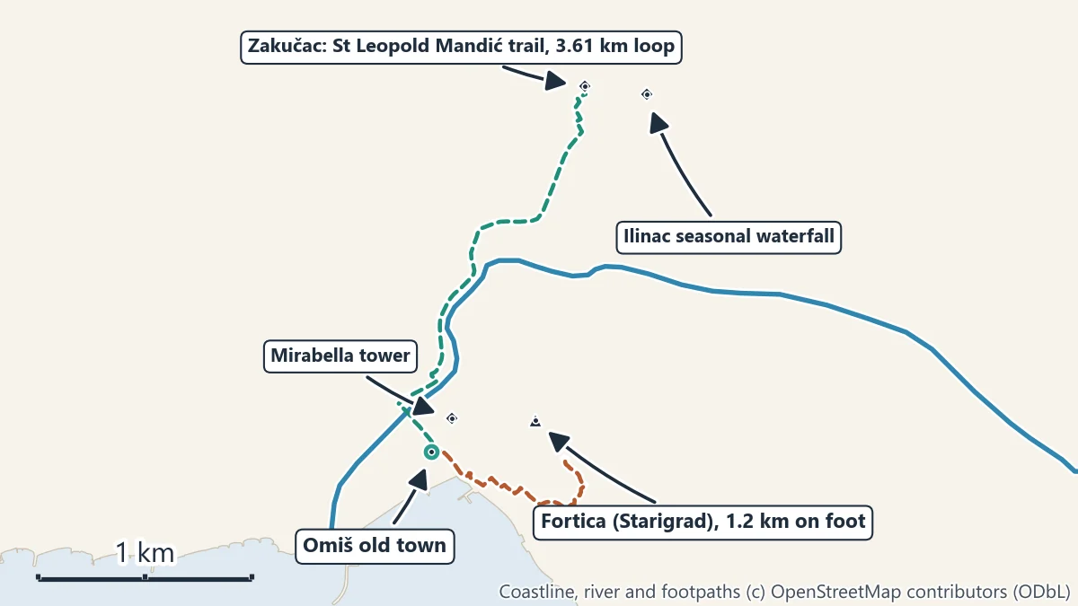
The Fortica, also called Starigrad, is the fortress on the ridge above Omiš. From the old town a marked path climbs to it: 1.2 km on foot, steep most of the way. From the top you look straight down on the river mouth, the gap where the Cetina leaves the canyon, and out to sea. Go early or late on summer days, wear proper shoes and carry water. The Omiš tourist board gives the entrance fee as 3 EUR (checked November 2026), with opening hours that change by season, and advises against starting the climb after 6 pm.
For something shorter, the Mirabella (Peovica) tower stands in the old town itself, just above the streets, with a view over the rooftops and the river. Climbers also reach Fortica by a via ferrata up the rock face.
The St Leopold Mandić trail at Zakučac
Zakučac is the village on the hillside above the canyon mouth, 2.3 km on foot from the centre of Omiš. St Leopold Bogdan Mandić (1866 to 1942), a Croatian saint canonised by Pope John Paul II in 1983, came from here, and an educational trail named after him starts at his shrine and runs into the canyon landscape. The Split-Dalmatia County tourist board gives the figures:
| Trail | Length | Time | Difficulty | Height |
|---|---|---|---|---|
| St Leopold Mandić trail (loop from Zakučac) | 3.61 km | about 1 hour | medium | 10 m to 290 m |
| Illyrian River Trail (on to Ostrvica) | 5.01 km | about 1 hour 15 minutes | medium | 43 m to 280 m |
The loop starts at Zakučac on the trail across the bridge, passes the shrine after 0.2 km and returns to the start, almost all on unpaved track. The Illyrian River Trail branches off it and runs past Illyrian hillforts and the Pokornik spring, where local tradition places the founding of the old Poljica community, to the Late Antique building at Ostrvica. The management plan for the protected canyon names this as the first educational trail in the Omiš area, opened in 2009, and lists three more marked paths: Zakučac to Čišla, Zakučac to Dolac Gornji, and Omiš to Truša.
Ilinac: a waterfall that only appears after rain
Above Zakučac, near the power station, the cliff carries the Ilinac waterfall. It is a seasonal fall: it runs only after heavy rain, but when it does it drops 130 m, and the management plan for the canyon calls it the highest seasonal waterfall in Croatia. In dry weather there is no fall to see. A small viewpoint above Zakučac looks across the canyon mouth.
Gubavica viewpoint at Zadvarje
At the other end of the canyon, 30.0 km by road from Omiš, a path of about 600 m from the main road through Zadvarje leads to the viewpoint over Velika Gubavica, the Cetina’s 49 m waterfall. It is the easiest walk on this page and the most dramatic view. See the Gubavica waterfall guide.
The river road to Radmanove mlinice
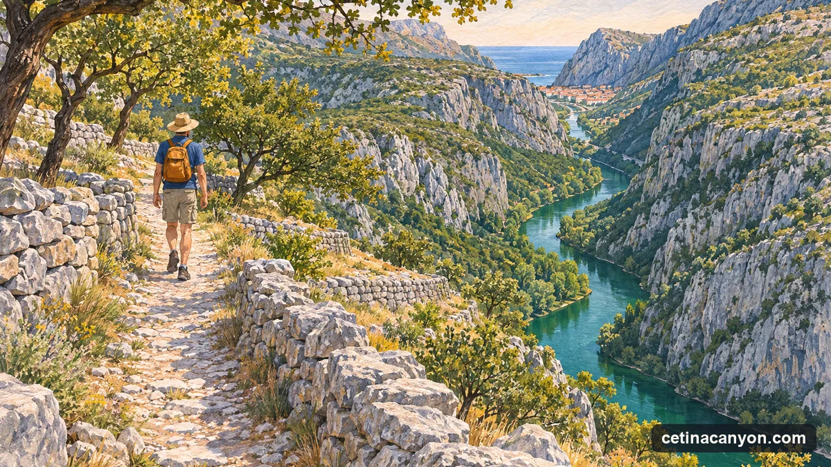
The road up the canyon from the Omiš bridge follows the river for 5.9 km to Radmanove mlinice. It is a road, not a footpath, so you share it with cars, but it stays beside the water all the way, about an hour and a half on foot. Many people walk one way and take the river boat the other.
Before you set out
- Heat. The slopes above the canyon are bare limestone and low scrub. In summer, walk in the morning or evening and carry more water than you think you need.
- Shoes. The paths are rocky and the limestone is sharp and slippery when worn smooth: wear walking shoes, not sandals.
- Stay on the paths. The canyon is a protected landscape; the cliffs host nesting birds, and some of the slopes above the river are old farm terraces still in use.